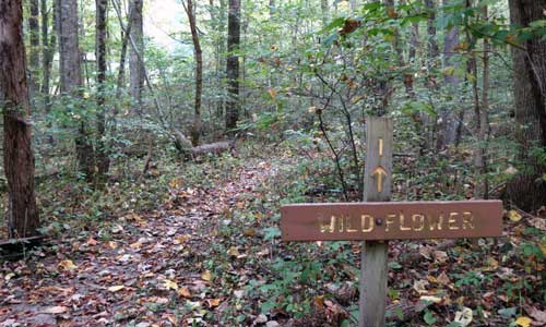
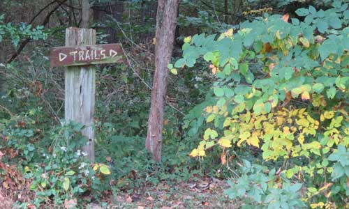
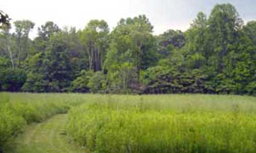
Hilly, open fields, mature forest, creek, successional forest, prairie: approximately 1.5 miles which includes the service road to the trailhead
Quick Trail Description
Hilly, open fields, mature forest, creek, successional forest, prairie
Length of Trail
Approximately 1.5 miles
Detailed Trail Description
The Woods Loop trailhead is on the service road. Leaving the parking area, follow the service road up and over the gentle hill. Pass the prairie, cross the creek, ascend the hill, pass the open field and wetland area and enter the woods. As the service road travels atop the edge of a large valley, the trailhead will be about 50 yards further into these woods.
- On the right, the trail descends into the valley that was previously seen below. Across the creek, the maintained open fields can be observed.
- The trail follows the creek and eventually meets a connector trail that links the Woods Loop Trail to the Beech Trail. At this point the visitor finds themselves in a sizeable valley that frequently hosts barred owls.
- The trail continues to the left of the bridge and climbs a ridge. Near the top of this ridge is a favorite location for viewing tree-top woodland species as the vantage point provides an opportunity to almost look into the canopies of the meadow trees that are rooted below.
- Continuing along this trail, the hiker will join the old branch of the service road.
- Follow the road to the left. The service road will connect to the main service road that leaves to the right.
- Continue straight ahead and eventually return to the trailhead. Continue back to the main area using the service road.
Woods Loop Trail Photos
More Details
Choose a Trail
Take a walk on our trails.
Take your pick!
Our Trail Map
Want to learn more about our trails?
Download our trail map.
Indiana Audubon Society
The Mary Gray Bird Sanctuary is owned and operated by theIndiana Audubon Society.
Contact Us
Contact Amy or Carl Wilms at [email protected] or by phone 765-827-5109.


